
La Porte ZIP Code Directory Coverage
The La Porte postal directory has two ZIP layers documented in the research: 77571 and 77572. The City’s April 2021 map shows 77571 as the main street-delivery ZIP and separately draws the city-limit line. The map places the street-delivery area among the Hwy 225 and 146 corridor, Battleground, Bayport, South La Porte, and other industrial or port-side address geography. USPS material also pairs 77571 with 77572, but the reviewed official location material does not say that every 77572 address is a post-office box or identify a distinct station.
| ZIP | Areas covered | Post office | Research note |
|---|---|---|---|
| 77571 | Main La Porte street-delivery geography shown on the City map, including city and port-side areas around Hwy 225, Hwy 146, Battleground, Bayport, and South La Porte | La Porte Post Office, 801 W Fairmont Pkwy | Its dashed postal boundary and city-limit line do not coincide everywhere. |
| 77572 | Additional La Porte postal ZIP found in official USPS materials | La Porte postal-service relationship documented, but station classification not stated | Do not collapse it into 77571 without verifying the actual address. |
The La Porte ZIP directory should therefore be used as a geographic filter, not as a conclusion about municipal jurisdiction. For a specific delivery address, USPS is the final test. The City map is better for understanding the boundary context around that result.
La Porte ZIP Limits Differ
The April 2021 City ZIP map makes a useful local point: 77571’s postal boundary and La Porte’s city-limit line are different dashed lines. A La Porte mailing address can therefore reach an unincorporated or industrial pocket, while a parcel inside the municipal boundary may use a postal designation that does not track the city line. Postal geography supports mail delivery. It does not decide annexation, zoning, property ownership, or the agency that holds a record.
Boundary check. Do not assume a La Porte ZIP proves a parcel is inside the city. Compare the City map, the HCAD situs record, and the applicable city or county record.
The distinction also matters for older records. La Porte’s history includes Lomax consolidation in 1980 and Bayshore MUD annexation in 1987. Older addresses can carry a community or district name that does not fit a present-day city or ZIP expectation. Compare subdivision and city-limit maps before discarding an otherwise sound match.
Verify a La Porte Postal ZIP
The USPS ZIP Lookup takes an address, city, and state and returns a standardized deliverable ZIP. Use it after copying the street number and directional terms exactly. It is the authoritative final check for a mailing address, while the City map remains the context tool for a wider La Porte postal search. The source material cautions that the map is approximate and informational, using STAR*Map and Houston-Galveston Area Council data.
The La Porte Post Office location record identifies 801 W Fairmont Pkwy, La Porte, TX 77571-9998, with local phone 281-867-9928. It lists retail hours Monday through Friday from 9 to 5 and Saturday from 9 to 12, with post-office-box access around the clock. USPS also provides 1-800-ASK-USPS for general assistance.
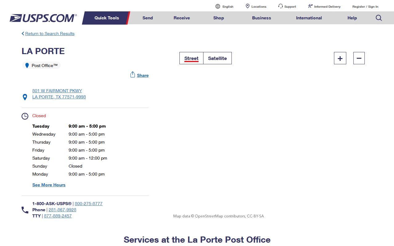
The location record supports a delivery or service question. It does not resolve whether 77572 is exclusively a box ZIP, because the reviewed official source did not state that classification.
Note: A correct ZIP confirms a delivery format, not the limits of La Porte government or the ownership of a parcel.
Search La Porte ZIP Parcels
HCAD’s advanced property search is the local portal with a documented five-digit ZIP field. It can combine that filter with owner name, property street name and number range, tax year, legal description, key map, map facet, school district, state category, building style, and square-foot range. A La Porte ZIP search returns tax parcels and owners, not every person associated with the postal area. Use the result to identify candidate parcels, then read the separately displayed situs and mailing addresses.
| HCAD search field | Format | ZIP-filter use |
|---|---|---|
| ZIP | Five digits | Sets the postal filter for parcel results. |
| Property Street Name | Street text with similar-name criterion | Limits the ZIP result to a named street. |
| Beginning and Ending Property Street Number | Address-range controls | Focuses a search on part of a street inside the ZIP. |
| Owner Name | Last name first, partial names accepted | Checks a known tax-owner result after a ZIP search. |
| Legal Description | Partial legal-description terms | Connects a parcel to a recorded instrument. |
| Tax Year, Key Map, Map Facet | Portal controls | Refines a large local result set. |
HCAD says a mailing address can differ from the situs address, an account can have a zero street number, and a property can be unmapped or entered incorrectly. Data is usually refreshed nightly. Those limits make a ZIP filter useful for sorting, but insufficient for deciding who lives at a La Porte address.
Find Records in a La Porte ZIP
A ZIP-first workflow works best when it is kept inside the limits of each record system. Start with delivery verification, use HCAD for property parcels, and use the Parcel Viewer for location context. Then move to the property’s legal description if a recorded deed is needed. The Harris County voter lookup is not documented as a ZIP-filter search. The statewide voter-file request can reduce data by county, precinct, and other criteria, but the reviewed Form PI does not promise a simple ZIP output.
- Run the full address through USPS ZIP Lookup and record the standardized ZIP.
- Enter that five-digit ZIP in HCAD, adding a street range if the result set is broad.
- Open the parcel detail and compare situs address, owner, mailing address, account, and legal description.
- Use the HCAD Parcel Viewer and City maps to understand the nearby parcels, city line, roads, rail, and industrial context.
- When the question becomes a particular street, use the La Porte street directory for the fuller address-by-address record chain.
For voter records, the public Harris County search offers current or pending status and an address-related aid, with fields such as phone number, full date of birth, identification numbers, and protected addresses withheld. The SOS Form PI route requires an affidavit, a complete physical address, phone, notarization, a $75 deposit, payment, and a selected delivery method of CD-ROM or FTP. It is a controlled state request, not a ZIP household list.
Map La Porte ZIP Context
The HCAD Parcel Viewer does not expose a documented ZIP search control. Use HCAD advanced search to find ZIP-filtered parcels, then map the selected accounts. The viewer accepts full or partial address, account number, owner name, map click, and current location. A selected result highlights the parcel and opens detail information. City GIS provides printable and web maps, HCAD links, FEMA flood maps, and other context layers.
A La Porte GIS Hub source is useful for the map layer of a postal-directory search.
The GIS tools can relate a ZIP-filtered parcel to streets, zoning, flood, or city-limit context. They do not turn a postal boundary into a legal parcel survey or a resident roster.
The City posted a GIS Hub update in November 2025 grouping public safety, services, planning, public works, and utility maps, with further upgrades in progress. That update adds useful context but does not replace the HCAD owner and account record.
Read La Porte Postal Addresses
Four address terms often appear together in a La Porte postal-directory search, yet they answer separate questions. Keep them distinct before comparing the Postal Service result with HCAD or a County Clerk instrument. The legal description is especially important when a street number has changed form or an older record uses a subdivision reference instead of a current delivery address.
- ZIP
- The Postal Service delivery geography assigned to an address. It is not a municipal boundary.
- ZIP+4
- An added four-digit delivery detail used with the five-digit ZIP. It is more specific than the city-level postal code.
- PO-box ZIP
- A postal code used for post-office boxes. The research did not confirm that all La Porte 77572 use is this type.
- Unique ZIP
- A code assigned to one organization or high-volume recipient. No La Porte unique ZIP was confirmed in the reviewed sources.
- Carrier route
- A postal delivery grouping. It is not a city boundary or an ownership record.
HCAD’s situs address is the physical property location. Its mailing address is where tax correspondence goes and can be outside La Porte. The County Clerk’s legal description uses subdivision, lot, block, abstract, tract, or reserve details. That three-part comparison is more reliable than relying on a ZIP alone.
Note: A mailing address may be useful for contacting a record custodian, but it is not proof of current physical occupancy.
Limits of a La Porte ZIP Directory
A La Porte ZIP directory cannot identify every resident within a postal boundary. HCAD can return parcel owners, mailing addresses, property details, and some same-street links, but it does not prove every occupant. The public voter tool is a constrained registration lookup, not a comprehensive roster. City permits and code files are address-keyed rather than ZIP-wide, and a public ZIP-wide search for them was not located. Utility and DMV address lists should not be assumed public.
Texas Election Code §13.004 protects telephone numbers, Social Security numbers, driver-license or ID numbers, dates of birth, and protected voter residences from ordinary posting. Texas address-confidentiality participants can have a substitute or masked address. Use public records for lawful personal research, never to identify or publish protected locations or to harass anyone.
La Porte ZIP Directory Geography
La Porte lies east of downtown Houston between the Barbours Cut and Bayport terminals, with the Houston Ship Channel to the north and Galveston Bay to the east. The Fred Hartman Bridge, rail, highways, port access, and industrial districts shape how postal areas and parcel records appear on a map. The City identifies Old Town, New Town, Sylvan Beach and Grove, Fairmont Park, Brookglen, Pelican Bay, and industrial areas as local place names that can help interpret an address.
A La Porte location and geography source provides the city’s regional context for the postal directory.
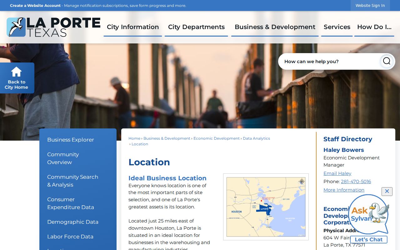
Use regional labels as search aids, especially when a record references an older community name, but verify the parcel and postal address through the proper official tools.
The La Porte Industrial Districts source also shows why Bayport and Battleground context can appear near a postal search.
Industrial district geography is useful for interpreting a map, not for assuming a residential or municipal status from a ZIP.