
La Porte Neighbors: Block Record Sources
Public records can describe a La Porte block in layers. The parcel viewer shows where lots meet. The appraisal record identifies a tax owner and separate mailing or situs address. A recorded deed or plat adds the legal parcel history. Historical street directories can place past occupants on a street. These records answer different questions, so they should not be turned into a roster of everyone who lives nearby. In particular, a tax owner, an applicant on a permit, and a current occupant can be different people.
| Source | What it shows about a block | Access |
|---|---|---|
| HCAD Parcel Viewer | Adjacent parcel geometry, account and owner links, nearby addresses | Free public map; approximate, with each parcel clicked separately |
| HCAD advanced search | Owner, mailing and situs address, ZIP, address range, legal description, values | Free public search with street-range and ZIP filters |
| Harris County plats and deeds | Lot, block, subdivision, easements, recorded owners, prior transfers | Online index and images generally from 1960; older office or archive route |
| City GIS and zoning map | Street grid, parcel labels, zoning, rail, drainage, and city-limit context | Free city maps; not ownership proof |
| Historical street directories | Past occupants, businesses, and telephone context by street | Digitized runs plus library and archive finding aids |
| Voter lookup | Limited current or pending registration match | Public search with protected fields withheld |
For a current block, start with the parcel outline and move inward to the record details. For a historic block, begin with a street section in a directory and then compare it to deed, newspaper, or archive evidence from the same period.
Map a La Porte Block: Parcels and Owners
The HCAD Parcel Viewer accepts a complete or partial address, account number, owner name, map click, or current location. Select a result to highlight its parcel and open the popup or details, then use its owner or account links to move into HCAD. The viewer offers base-map choices, zoom and pan controls, and layers, but its help states that the map is approximate and not a legal survey. A named radius or buffer tool was not documented in the official help, so treat the visible adjoining polygons as the supported method.
| HCAD viewer control | Type | Required | Observed behavior |
|---|---|---|---|
| Search address | Text | No | Complete or partial address |
| Account number | Text | No | HCAD account; viewer help does not state its exact format |
| Owner name | Text | No | Complete or partial owner |
| Map click / current location | Map control | No | Select a parcel or use current location |
| Result selection | Link or control | No | Highlights a parcel and opens popup or detail |
| Base map and layers | Map control | No | Background choices and HCAD or city layers; full named list not exposed |
- Search the known La Porte address and select the correct parcel. Check the situs address, account, and legal description before moving outward.
- Click one adjacent polygon at a time. Record the address, account, and owner field shown in the linked HCAD detail, keeping mailing and situs addresses separate.
- Use the legal description in the Harris County Clerk real-property index to locate deeds or plats when ownership history matters.
- Use city layers for zoning, flood, rail, or city-limit context, but do not read them as proof of ownership or occupancy.
The process is address to parcel, parcel to owner field, then legal description to recorded instrument. For a longer named-street chain rather than one immediate block, use the La Porte street address directory.
La Porte Neighbors Through HCAD
HCAD provides the practical starting point for neighbors around a La Porte property because its advanced search supports owner name, street name and range, ZIP, account, legal description, map facet, school district, tax year, and building filters. A short street name can be narrowed with beginning and ending numbers, ZIP, or tax year. HCAD says capitalization is not important and partial text can help. The “Values on Same Street” feature is especially useful for browsing nearby accounts without reducing the exercise to a one-name search.
The HCAD property-data download page identifies the public-data route used for annual information.
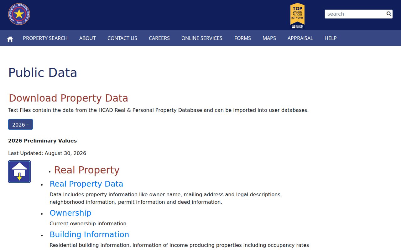
HCAD's downloadable public datasets list 2005 through 2026 annual data, while individual search results need to be read with their tax year and field limits.
Owner name, mailing address, legal description, neighborhood, permit, and deed fields can appear in the published data descriptions. That does not make the mailing address a residence finding. It can belong to a trust, attorney, family member, business, or post office. A homestead exemption can be an occupancy clue, but it does not prove every owner lives at the property or that a household has not changed.
La Porte Voter Results Are Not Block Rosters
The Harris County Voter Search can help verify current or pending registration status and supports a search-field selector and search text. Its ordinary public result is not a complete voter profile. Election Code §13.004 keeps telephone numbers, Social Security numbers, driver's-license or ID numbers, dates of birth, and protected residence addresses out of the public display. A protected voter can appear with a masked or substitute address, and ballot choices are not shown.
The statewide voter file is also not a casual neighbor tool. Texas Secretary of State Form PI requires an affidavit, requester information, a $75 deposit, and payment before release. It can be reduced by county, precinct, dates, and other specified criteria, but the current form does not promise a simple ZIP output. Harris County Archives preserves poll-tax and registration lists from 1931 to 1998, microfiche registrations from 1975 to 2001, precinct street guides from 1951 to 2007, and election maps from 1943 to 2010 for historical work.
La Porte Neighbor Association Records
Neighborhood associations add community context, not a public list of member households. The official Texas management-certificate search returns associations for La Porte 77571, including Shady River Civic Association, Sylvan Beach Enclave Homeowners Association, Fairmont Park East HOA, Glen Meadows Section Four A Community Association, Artesia Village Community Association, Homeowners' Association of Pelican Bay, Fairmont Park Homes Association, Lakes at Fairmont Greens HOA, Green Crest Community Association, and Meadowcrest HOA. Certificate PDFs identify association and management information, but the official search warns that completeness and reliability are not guaranteed.
Brookglen Community Improvement Association
Brookglen identifies boundaries between Spencer Highway, Fairmont Parkway, San Jacinto College Central, and Pecan Park. First homes began in 1968 and the last were built by 1997. Its public materials include board information, agendas and minutes, bylaws, deed restrictions, forms, financial statements, and dues instructions, not a household directory.
Fairmont Park West HOA
Fairmont Park West offers app-based requests, architecture information, neighbor engagement, and board or contact routes. Goodwin & Co is listed at 855-289-6007. The public material does not provide a membership roster.
The Brookglen association page provides the neighborhood's public governance materials.
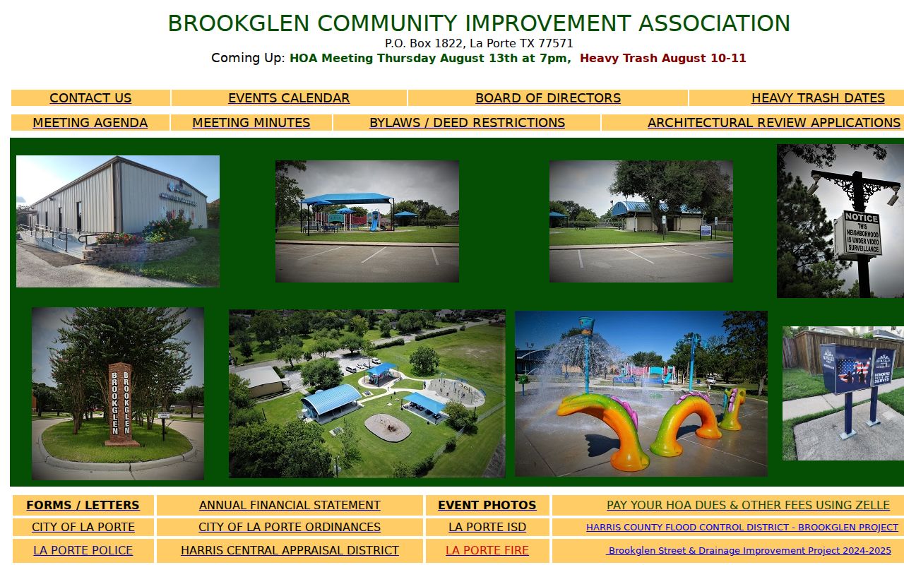
Brookglen's development window gives a useful time frame when comparing a parcel, a historic directory, and a subdivision record.
The Fairmont Park West HOA page shows the association's public communication route.
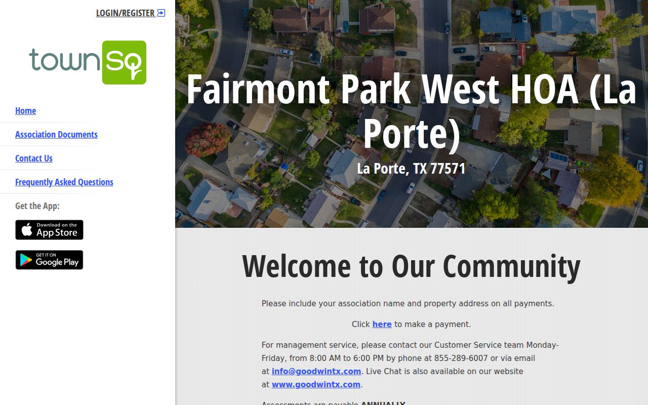
Use the public contact route for community questions, while respecting that association records are not a substitute for property or resident records.
La Porte Neighbors in Historic Street Sources
For a past block, the street order of the 1937 Tri-Cities street and telephone guide can place householders and businesses along a named street. Later 1940 to 1941 and 1960 to 1961 directories add details such as spouse, household count, address, phone, occupation or classification, and notations. Preserve the page number, exact spelling, municipality label, and abbreviation key. The 1937 volume uses @3 for ownership and H for a Humble Oil exchange, while the 1940 to 1941 volume uses h/r and household counts. Those marks are period conventions, not present-day proof.
The digitized directories have street sections for block work, but OCR can misread names. Compare the page image, then pair a household trace with a newspaper notice, a 1940 or 1950 census record, a deed, or a later directory. The La Porte city-directory collections retain the fuller historical shelf without turning a past street entry into a current-neighbor claim.
La Porte Neighbors and Civic Context
City-facing records can describe the setting around a block without identifying private households. La Porte's GIS hub groups public safety, services, planning, public works, and utility maps, while the city's zoning map can show rail, drainage, parcels, city limits, and zoning categories. These layers help explain a property setting. They do not establish owner identity or who is present at an address. La Porte's city and postal boundaries can also differ, so a mailing label should be checked against the parcel and city maps.
The La Porte emergency-planning committee page is one example of a public civic record.
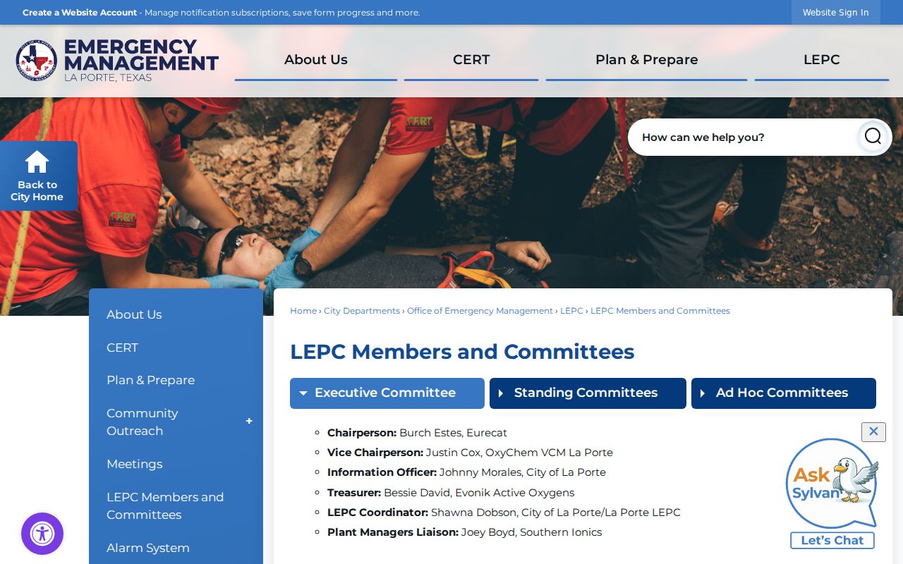
Committee and public-safety records provide civic context, not a way to identify private neighbors around a parcel.
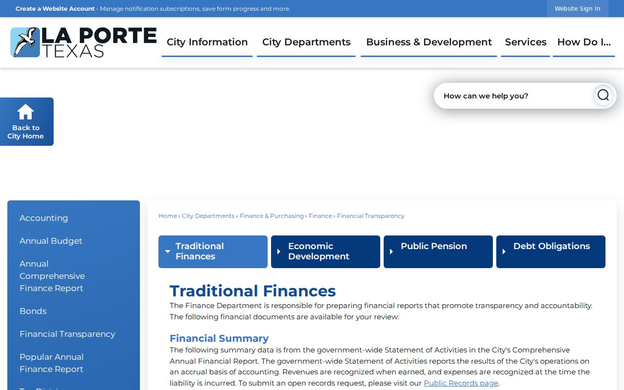
The La Porte financial-transparency records page offers another city record channel for understanding public activity near a block.
Keep those public materials separate from parcel ownership and from any claim about an individual household.
Note: A city map or civic record can clarify the area around a La Porte block, but it does not prove who lives on a parcel.
Privacy Limits for La Porte Neighbors
A neighbor lookup has firm boundaries. HCAD ownership records do not list renters or all household members. A directory's renter notation is historical publisher shorthand, not a current legal record. DMV addresses and utility customer lists are not public resident rolls. A permit applicant, contractor, code reporter, or registered agent is not necessarily an occupant. The Texas Address Confidentiality Program provides substitute-address and mail-forwarding protection for eligible people, and an ordinary search cannot defeat that protection.
Official records and commercial neighbor tools also differ in what they are built to do.
| Source type | Useful for | Limit to keep in mind |
|---|---|---|
| Official parcel and deed records | Recorded ownership, legal descriptions, and document dates | Do not list all occupants and may have copy, image, or redaction limits |
| Official voter lookup | Limited registration verification | Protected fields and addresses are withheld; it is not a block roster |
| Commercial neighbor-search category | Possible starting leads from mixed sources | May be stale, merged, paid, or inaccurate; correct data with the original custodian |